
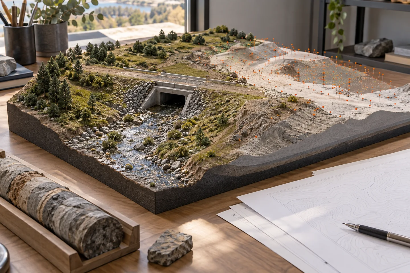
Existing information is not equally reliable
An infrastructure model may combine recent survey, old record drawings, public mapping, utility-owner data, photographs, and site observations. These sources differ in accuracy, coverage, date, and authority. A clean-looking model can hide that variation if every object is presented with the same visual weight. Start an input register before modeling.
For each source, record what it describes, who supplied it, capture date, coordinate reference, known limitations, and the decisions it may support.
Separate observation from interpretation
A measured benchmark is an observation tied to survey control; an inferred buried pipe route from a legacy drawing is an interpretation. Keep those categories distinct. For a hypothetical road widening, the location of a visible chamber may be surveyed, while the connecting pipe alignment may be approximate.
Modeling both as exact solids creates false confidence. Represent uncertain information with suitable geometry or status metadata and make the distinction visible to designers and reviewers.
Record coordinate and datum evidence
Combining sources requires more than choosing a shared project origin. Record horizontal reference system, vertical datum, transformation method, units, and any local grid or scale factor. Test transformations with known control points and elevations. If a legacy drawing lacks a reliable datum, do not silently shift it until it appears plausible.
The resulting alignment may affect clearances, drainage, foundations, and utility interfaces. Have the survey lead confirm coordinate decisions and retain the evidence used.
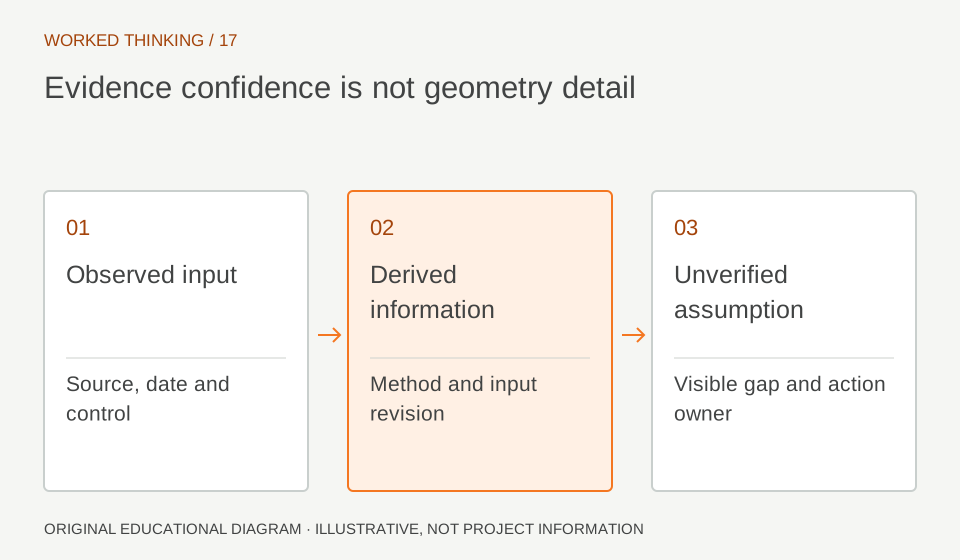
Read diagram notes
- Observed input
- Source, date and control
- Derived information
- Method and input revision
- Unverified assumption
- Visible gap and action owner
Classify confidence by use
A data source can be adequate for one purpose and inadequate for another. A regional terrain surface may support early route options but not detailed drainage design; a utility record may guide investigation but not excavation. Define confidence categories in terms of permitted use and required verification, not vague labels such as 'good' or 'poor'.
For example, an approximate utility record could trigger potholing before design freeze. The classification should be reviewed as new evidence arrives.
Plan investigations around risk
Use the register to find where uncertainty overlaps high-consequence decisions. A poorly located service beneath a proposed abutment deserves attention before a low-impact landscaping boundary. Rank investigation priorities by consequence, likelihood, and opportunity to resolve uncertainty. This is a project planning method, not a calculation of structural safety.
In a hypothetical bridge approach, targeted survey or utility detection could be scheduled before foundation design reaches an irreversible stage.
Preserve provenance in the model
Link modeled objects to their source record or carry a stable source identifier and confidence attribute. This lets a reviewer ask why an object is placed where it is and whether it was verified. Keep the source file controlled in the information environment and avoid embedding only a filename that can change.
When an observation supersedes a record, update the status and retain the earlier evidence. Model geometry should not erase the history of how knowledge was acquired.
Use field checks to close gaps
Plan site verification with the designer, surveyor, and construction team. Agree what will be measured, the control points, tolerances, safety constraints, and how findings will be recorded. If an exposed utility differs from the model, capture its actual location and source date, then assess affected design interfaces.
Do not let a field markup become a permanent model fact without review. A controlled update should identify the observer, method, and approving discipline.
Communicate limits at each handoff
Every delivery should summarize important gaps and assumptions in plain language. A model recipient should know which areas are surveyed, inferred, or still unverified, and which decisions depend on that status. Keep the register current as investigations progress. This enables better design reviews, tender planning, and construction sequencing.
The purpose is not to eliminate uncertainty—often impossible—but to prevent uncertainty from being mistaken for measured fact. A confidence register should be reviewed at design milestones, not filed away after mobilization. Add newly received surveys, mark superseded sources, and identify decisions that were made while uncertainty remained.
When an assumption is accepted temporarily, name the person responsible for closing it and the event that will trigger review. This turns a static inventory into a practical risk-control record that helps teams focus limited investigation time.
This update should also flag protected cultural or environmental features whose location or restriction source is incomplete, so survey and design teams can seek authoritative confirmation before changing the corridor.