
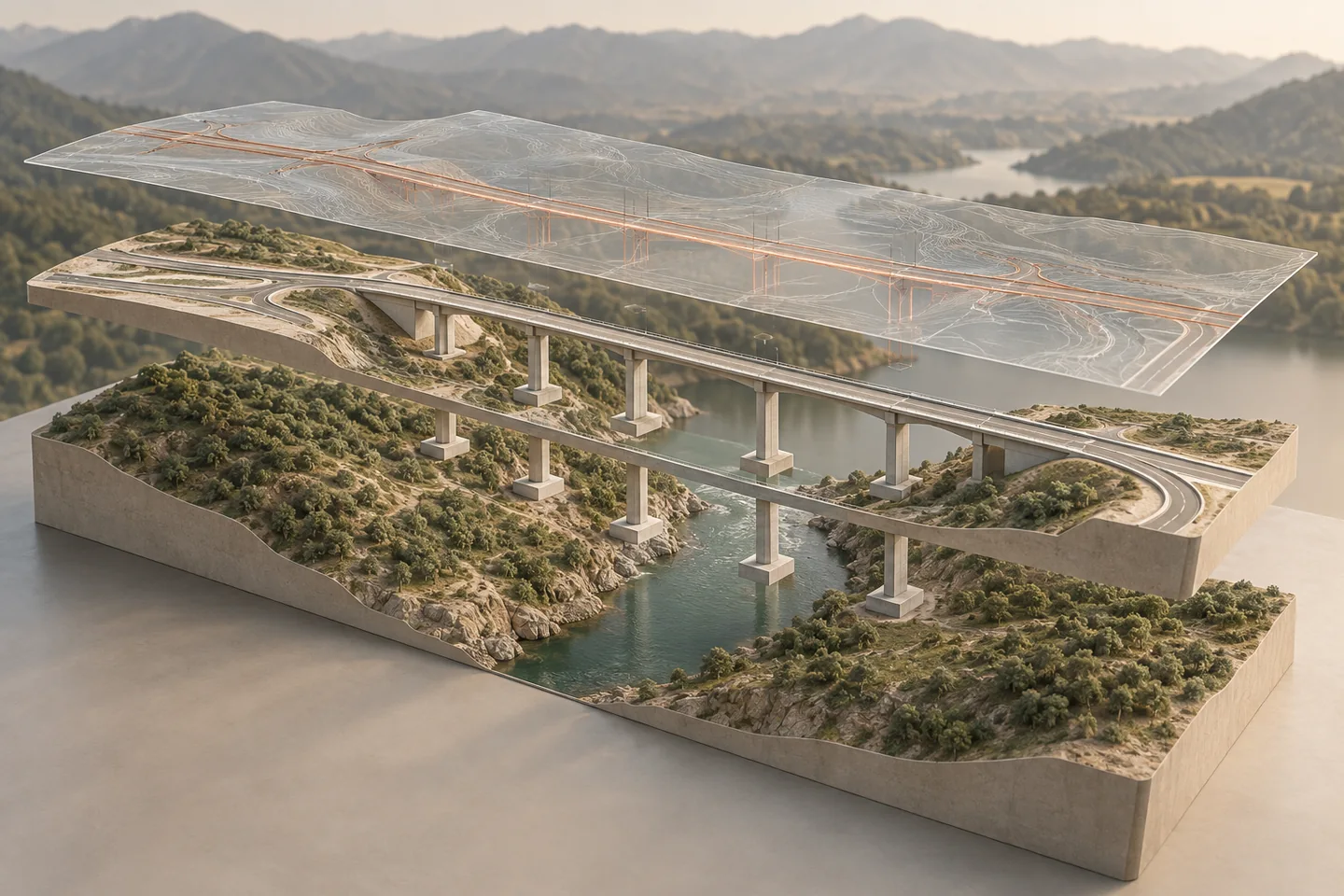
Keep the state of the world explicit
An infrastructure project can contain terrain, existing roads, utilities, vegetation, structures, proposed work, and protected zones. If these are mixed without clear status, a reviewer may confuse existing assets with new design. Organize information into models or layers that state what they represent. The existing-condition model should describe a defined area and date.
Discipline models should contain proposed work by responsible team. A coordination view can combine them for analysis while retaining source identity.
Set a boundary for the base model
A base model is not an archive of every available dataset. Define geographic coverage, feature classes, representation level, and source-quality requirements. For a hypothetical interchange, the base may include surveyed terrain, known structures, mapped utilities, and protection zones within an agreed corridor.
Raster imagery may be enough for visual context, while measured objects used in clearance or quantity checks need suitable geometry. State why each information layer is included and what it is not intended to support.
Model existing objects with evidence
Existing components that influence design or construction should have geometry appropriate to their use and links to source evidence. A measured retaining wall may need a surveyed profile; a distant building may only need a simplified envelope. Do not model uncertain underground features with more precision than the source supports.
Assign source, date, and confidence metadata. If an object is removed, modified, or protected, represent that status clearly so users do not treat the model as a timeless description.
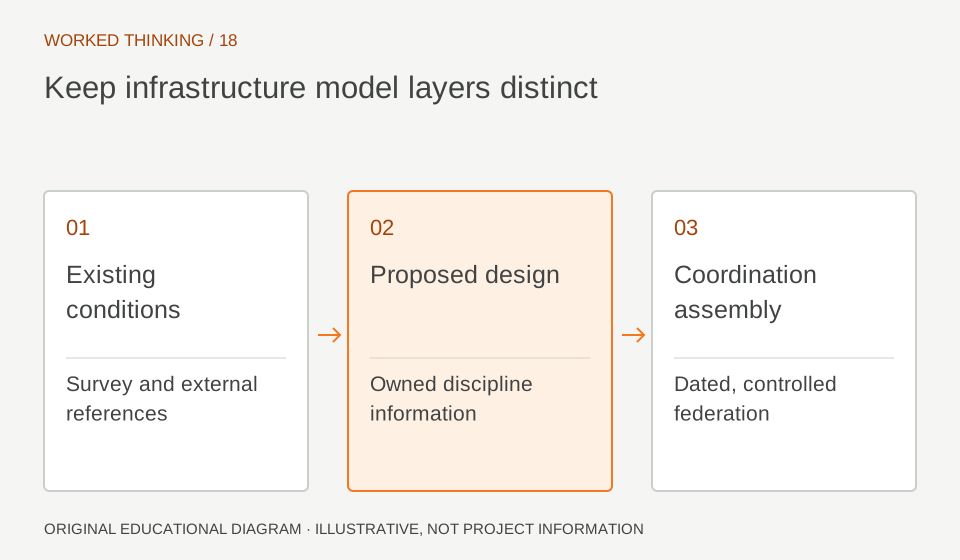
Read diagram notes
- Existing conditions
- Survey and external references
- Proposed design
- Owned discipline information
- Coordination assembly
- Dated, controlled federation
Separate proposed changes from baseline
Design models should make it possible to distinguish new work from retained, altered, or demolished objects. This is important for quantities, staging, and impact analysis. A road surface that overlays the existing one without explicit status can produce ambiguous earthwork quantities. Use agreed classifications and phases to describe the proposed condition.
Keep the baseline available so reviewers can compare what changes. This supports decision-making but does not replace survey validation or environmental approvals.
Federate without erasing ownership
A coordination model should combine relevant information while preserving which discipline or source supplied each object. Establish the reference date and model revisions used, coordinate transform, and included packages. Check representative control points and interfaces before running analysis.
If the federation is flattened into one anonymous file, teams may lose the ability to route questions or update only the responsible package. Keep links or metadata that allow every finding to trace back to its authoritative source.
Choose geometry by intended analysis
Not every input requires detailed three-dimensional solids. A point, line, surface, or raster can be appropriate depending on whether the data supports visualization, calculation, setting out, or construction. A terrain model used for earthwork quantities needs controlled surface geometry; a risk zone may be a boundary volume; an orthophoto may provide context.
Document the modeling basis and avoid implying that display detail equals measurement accuracy. This keeps the model efficient and communicates the real evidence level.
Use the coordination model to ask questions
A federated view can reveal crossings, missing interfaces, access constraints, and spatial conflicts. Define review topics and responsibility before circulation. For a culvert crossing, include terrain, utilities, drainage, road geometry, and temporary access if those affect the decision. An issue should identify the source packages and revisions involved.
When a change is accepted, update the owning model and refresh the federation; do not patch the combined view as though it were the design source.
Maintain a traceable update cycle
Existing conditions change through construction, utility work, and natural processes. State when the base model is refreshed, what evidence triggers an update, and who approves it. Preserve the previous snapshot and record the reason for change. At handover, distinguish verified as-built information from design intent or unverified records.
This layered approach makes infrastructure models more useful across design and execution because recipients can see both what the project proposes and what evidence describes the place. Use a delivery matrix to state which source models enter each federation and how often they refresh.
A base survey may remain fixed for a design package while utility investigations update weekly. If the federation combines different dates, show those dates clearly. Reviewers can then distinguish a true discipline conflict from a mismatch caused by an older existing-condition reference. This small metadata habit can prevent substantial rework.