
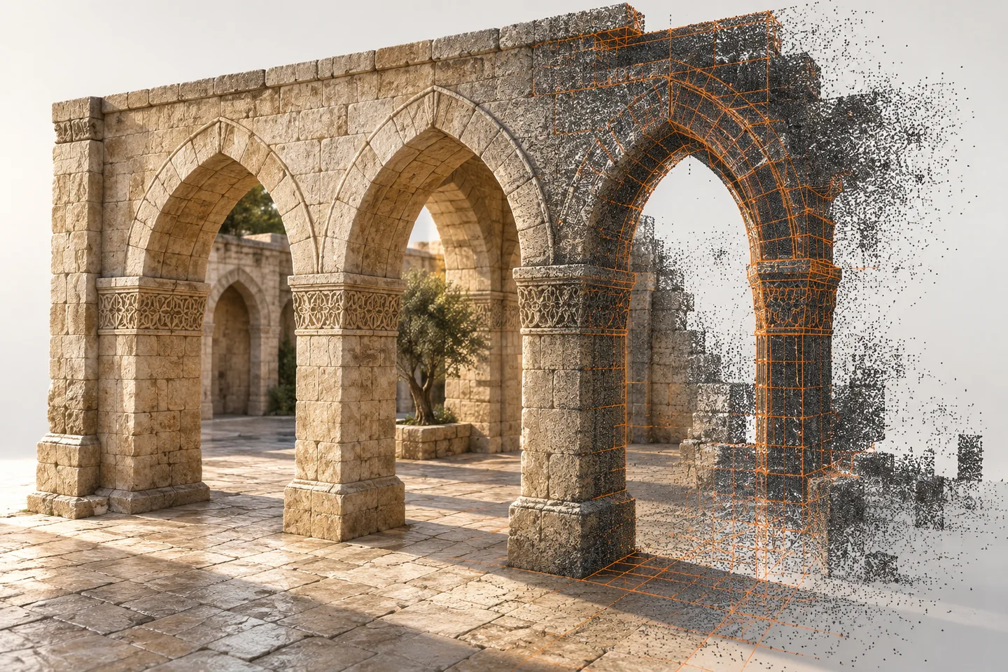
A dense point cloud can still be incomplete
AEC Magazine’s historical scan-to-BIM discussion highlights practical limits in capturing and interpreting existing buildings. A useful response is to map where the evidence is incomplete. The independent example below concerns an imaginary courtyard and arcade. It is not documentation of a real heritage site. Its purpose is to make gaps visible before a clean model makes them easy to overlook.
Define coverage against the required use
Start with the surfaces or locations needed for the intended decision. A navigation model and a conservation investigation may need different evidence. List the important areas and record how they were observed. A single project-wide claim of completeness can conceal a critical unobserved connection or concealed surface. The survey lead should define the capture and verification approach appropriate to the work, including access and conservation constraints.
Create a visible coverage register
Divide the area into practical review zones and assign clear states such as observed, partly observed and not observed. Link each state to the relevant survey reference and date. Record the reason for a gap: obstruction, restricted access, surface conditions or another documented limitation. Use text as well as colour. The register should help a modeller understand what evidence exists without assuming that a blank patch simply needs to be filled.
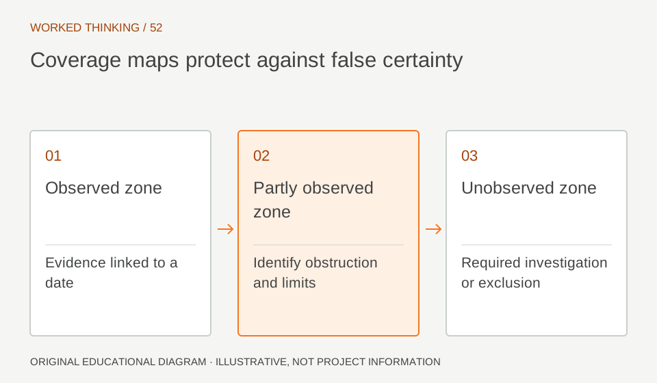
Read diagram notes
- Observed zone
- Evidence linked to a date
- Partly observed zone
- Identify obstruction and limits
- Unobserved zone
- Required investigation or exclusion
Distinguish interpolation from observation
Where geometry is inferred between observed areas, label that interpretation. Repeated arches may look similar, but repetition does not prove identical dimensions or construction. Keep an inferred feature traceable to the assumption used to create it. Do not assign measured accuracy to a region that was not measured. If the intended use depends on that region, raise a specific information request rather than quietly adopting a visually plausible shape.
Prioritise gaps by consequence
Review which missing observations could affect the current decision. A concealed interface needed for coordination may require further investigation, while an inaccessible decorative surface might remain outside the present scope. The responsible project team should decide the next action and permitted use of the information. Avoid treating every gap as equally urgent or assuming that a BIM modeller can resolve an evidence problem through more detailed modelling.
Plan additional evidence responsibly
Where further survey is needed, describe the unanswered question and required location clearly. Let the appropriate specialists determine safe, authorised and conservation-sensitive methods. Record whether the new evidence confirms or changes the earlier interpretation. Preserve the previous model revision and the reason for the update. The model should become more reliable through traceable evidence, not simply more complete in appearance.
Deliver the coverage map with the model
Include the coverage register, unresolved questions and links to the relevant survey records in the handover. Explain how coverage states are represented in the model or accompanying documentation. A receiving engineer should be able to distinguish observed geometry from an informed assumption. In Heritage BIM, showing the limits of knowledge is part of making the information useful and trustworthy.