

Define survey reliance
State whether the cloud supports spatial coordination, measured drawings, deformation comparison or a scan-to-BIM base. Each purpose needs its own coverage, control and checking approach.
Record control and registration
Request the control basis, instrument or workflow record, registration method and reported checks. Preserve survey filenames and dates so a later model author can trace which dataset informed a decision.
Map what was observed
Use a coverage drawing or views to identify occluded areas, reflective surfaces, inaccessible spaces and low-confidence zones. Dense points on a visible wall do not establish the hidden structure behind it.
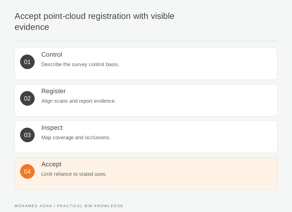
Read diagram notes
- Control
- Describe the survey control basis.
- Register
- Align scans and report evidence.
- Inspect
- Map coverage and occlusions.
- Accept
- Limit reliance to stated uses.
Check independent features
Compare a small set of accessible, stable features or control points independently of the model author’s assumptions. Report the method and differences; avoid inventing a universal acceptable tolerance.
Review the conversion boundary
When native model elements are placed from the cloud, label them as interpreted geometry and retain links to the underlying observation. An arch can be modeled as regular even when the survey shows irregular fabric.
Accept with limitations
The acceptance note should identify approved use, dataset revision, coverage caveats, contact and outstanding survey needs. Refer material condition or structural conclusions to specialists rather than inferring them from points.
Worked example: survey of a historic prayer hall
A survey team delivers a cloud for a historic hall with repeated arches. The project records the control basis, scan date, registration report and a coverage view. The BIM author samples accessible springing points and floor intersections, while the surveyor identifies an upper cornice hidden behind temporary access equipment. The cloud is accepted for the documented interior geometry and coordination base, but the concealed cornice remains an explicit survey gap. No one treats the point density as evidence of hidden wall thickness or material condition. Inputs are the cloud, control report, scan-location plan and a list of stable sample features. A mismatch appears at an arch springing point because temporary equipment obscured part of the scan. The surveyor labels the coverage limit rather than forcing a fitted model. The output is an acceptance note that approves specified visible geometry and records the upper-zone survey gap for follow-up.
Registration checklist
State intended use; retain control and registration records; map coverage and occlusion; compare independent stable features; record data revision; define excluded areas before modelling.