
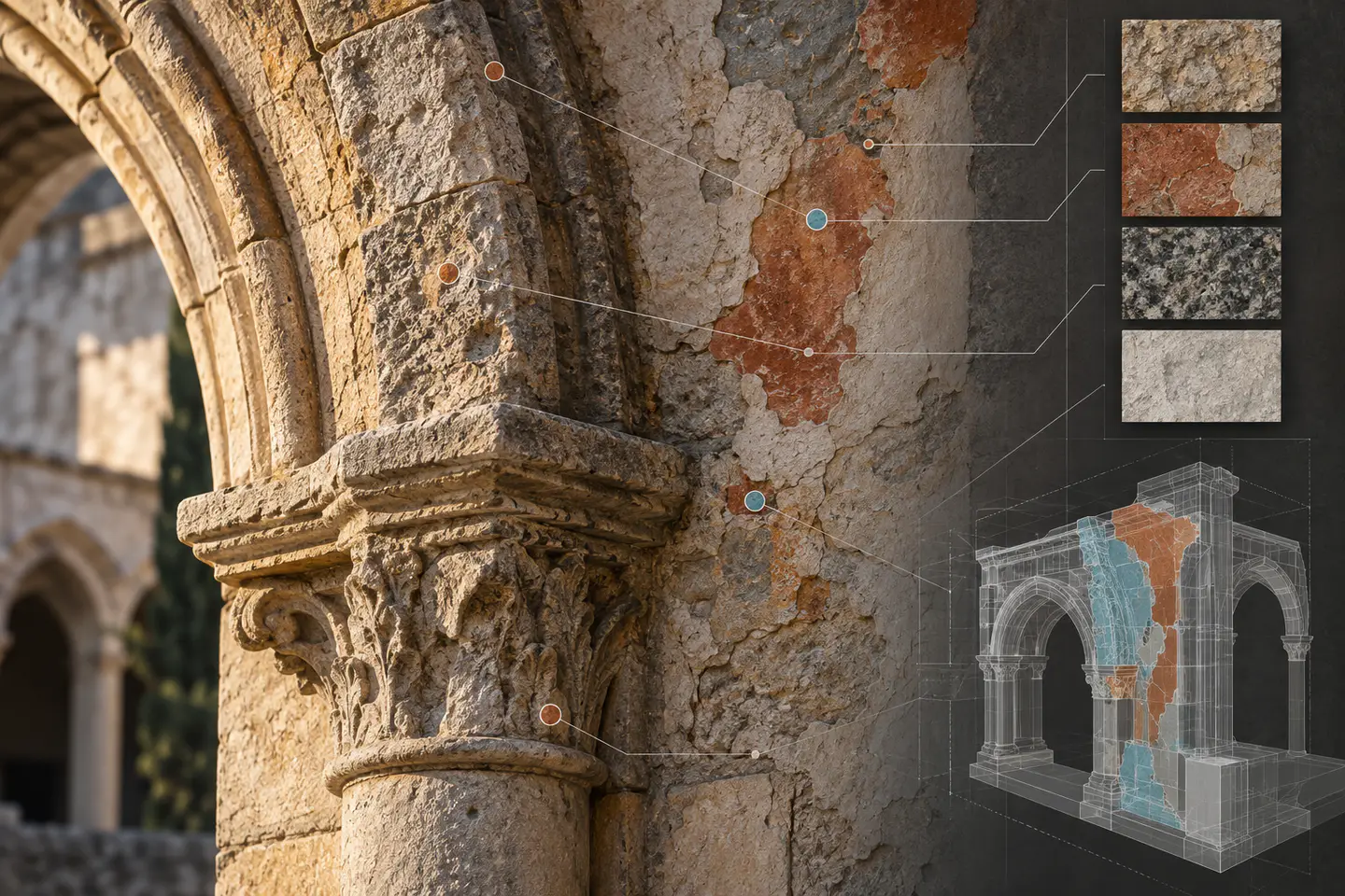
Use a location system first
Assign condition observations to a stable elevation, bay, level, arch, panel or coordinate reference. A photograph named “north wall” cannot support comparison when several similar surfaces exist.
Record observation separately
Capture observed features such as staining, cracking, loss, past repair or biological growth with date, observer, method and supporting imagery. Avoid writing a diagnosis into an observation field.
Allow specialist interpretation
A conservation specialist may assess cause, significance and treatment. Store that assessment as a separately attributed record so a later viewer does not confuse it with a visible fact from the survey.
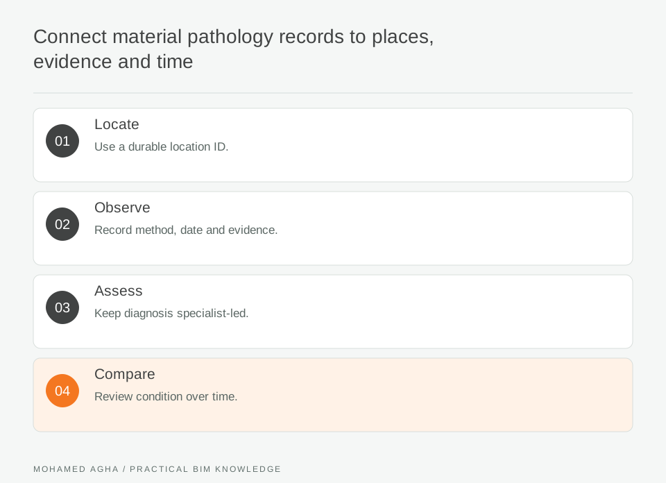
Read diagram notes
- Locate
- Use a durable location ID.
- Observe
- Record method, date and evidence.
- Assess
- Keep diagnosis specialist-led.
- Compare
- Review condition over time.
Make time comparable
Use consistent location IDs and a controlled condition vocabulary so later surveys can compare observations without pretending that different lighting or access conditions are identical.
Show evidence in context
Link the pathology record to a model view or drawing and to full-resolution source material. Small coloured dots are useful navigation aids, but they should not be the only evidence.
Publish a cautious record
State data date, coverage, limitations and responsible reviewer. The BIM layer supports investigation and maintenance planning; it does not replace a material-testing report or structural assessment.
Worked example: recurring moisture staining on a masonry bay
A survey records staining and friable mortar on one arcade bay using the elevation, arch number and photo references. The model records what is visible, date and observer; a conservation specialist later adds a separately attributed interpretation after investigation. At the next survey, the team uses the same bay ID and image positions to compare the condition. The record shows that a previous local repair exists, but does not assume it caused the staining. That distinction prevents the BIM view from becoming an unsupported diagnosis. Inputs are elevation photographs, mapped observations and a controlled condition vocabulary. The mismatch is that two surveys call the same feature “damage” and “weathering,” preventing meaningful comparison. The team preserves original wording as evidence but maps both observations to a defined condition category with specialist attribution. The output is a comparable condition record without claiming that the recorded feature has a confirmed cause.
Condition-record checklist
Use durable location IDs; record observation method and date; retain images; attribute specialist assessments; keep diagnosis separate; compare like-for-like records over time.