

Define the linear reference
Record alignment name, revision, direction of increasing chainage, station format, units, horizontal and vertical datum. These fundamentals must travel with model, drawing, issue and asset data.
Anchor objects to the reference
Give structures, drainage, utilities and survey observations a clear relationship to alignment and offset where useful. Do not mix chainage from a superseded alignment with a current corridor model.
Check direction at interfaces
A reversed alignment or different start point can place correct-looking objects at incompatible reported stations. Test several known features at the beginning, middle and end of the selected interval.
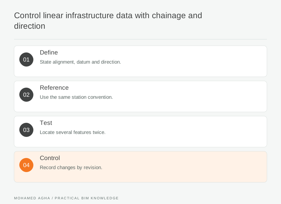
Read diagram notes
- Define
- State alignment, datum and direction.
- Reference
- Use the same station convention.
- Test
- Locate several features twice.
- Control
- Record changes by revision.
Coordinate cross-discipline data
Civil, structural, rail and asset teams may each use legitimate local conventions. Map them explicitly rather than forcing one discipline’s label into every tool without validation.
Control alignment revisions
When the route changes, record how existing locations were transformed or revalidated. An unchanged chainage value may describe a different physical location after an alignment revision.
Issue a location note
Attach the reference definition, checked features, revision, exceptions and owner to the delivery. This lets downstream reviewers understand exactly what linear location the model information means.
Worked example: viaduct drainage and pier coordination
A viaduct team tests one alignment interval. The civil model, pier schedule and drainage register all use the same named alignment, increasing direction and chainage format. The coordinator selects a pier, a drainage chamber and a crossing and checks each location in both model and register. One drainage item references an earlier alignment revision, producing a plausible but wrong station. It is corrected and the delivery includes a location note naming the alignment version and checked features. Inputs include the current alignment, pier schedule, drainage register and an issue list. The mismatch is a chamber recorded at a station that belongs to the superseded alignment. The coordinator asks the civil author to remap it against the current reference and checks the offset in plan and profile. The output is a location-control note with alignment revision, direction convention and verified sample features.
Chainage checklist
State alignment and datum; declare direction and units; link objects to the correct revision; test features at several stations; map cross-discipline conventions; issue exceptions with the location definition.