
Bring both models onto the same control
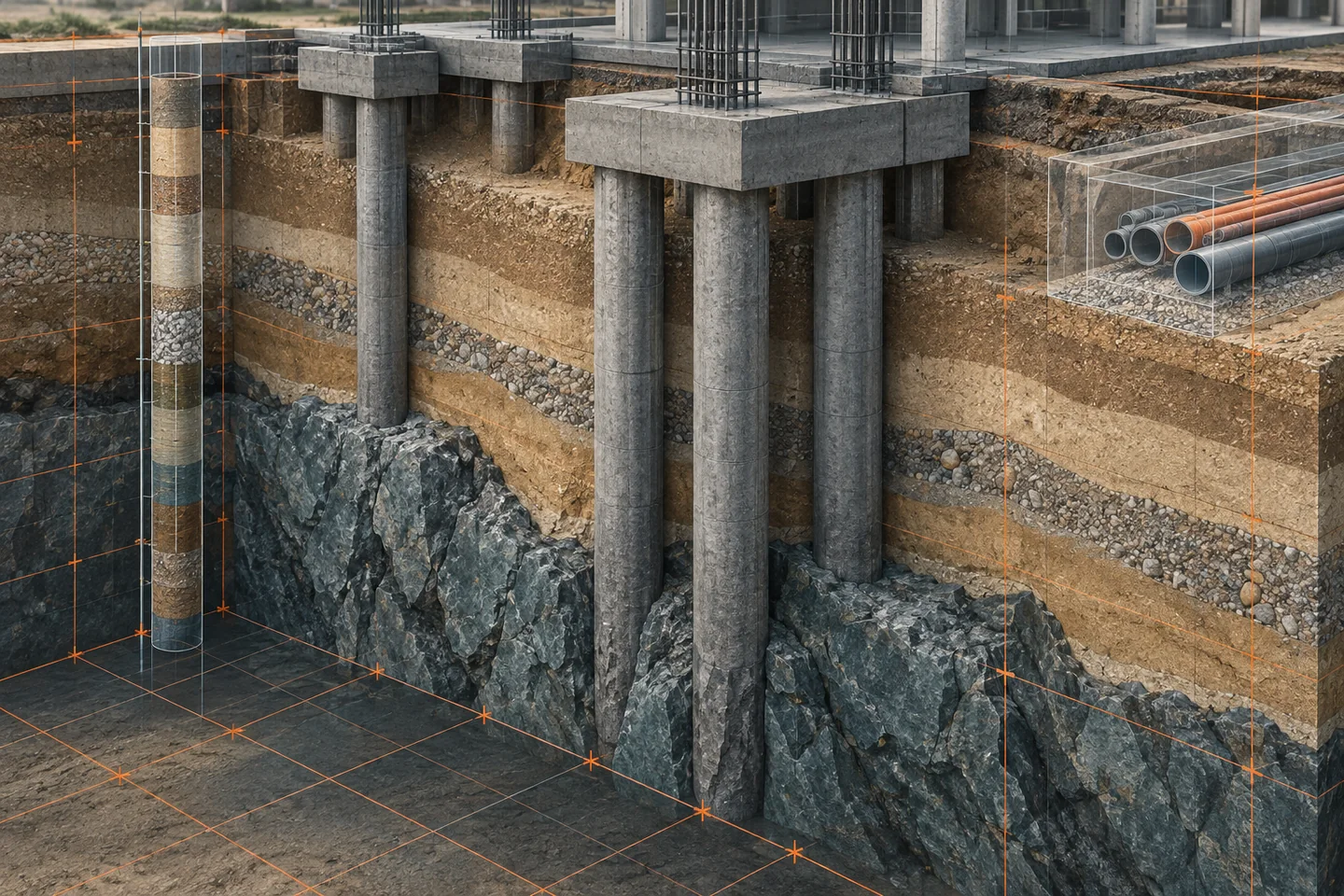
Before examining a pile against a ground surface, compare the horizontal reference, vertical datum and units used by the structural and geotechnical information. A borehole collar elevation and a project level may use different references even when both are labelled metres. Preserve the agreed transformation and test known control locations. A geological surface that appears neatly aligned in a perspective view is not sufficient evidence that the datasets share a usable coordinate basis.
Separate observations from interpretation
Borehole logs, laboratory results and investigation coordinates are evidence records. A surface interpolated between them is an interpretation. Keep links to the underlying investigation and identify the model author, date and coverage. A smooth surface can conceal sparse data, abrupt ground variation or a boundary drawn beyond reliable coverage. Geological models may describe different kinds of surfaces or volumes; establish what the delivered geometry represents before naming it as a founding stratum.
Ask questions at the foundation interface
Use a section to compare foundation geometry with the interpreted ground, investigation locations and nearby constraints. Useful coordination questions include whether an investigation supports the area being considered, whether pile or cap geometry is from the latest structural package, and whether utility information shares the same reference. These checks organize information for qualified review. They do not derive bearing resistance, settlement, pile length or excavation stability from a coloured ground layer.
Read diagram notes
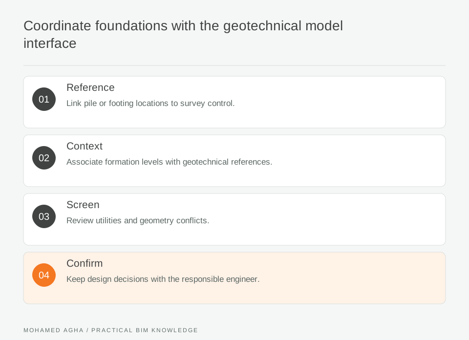
- Reference
- Link pile or footing locations to survey control.
- Context
- Associate formation levels with geotechnical references.
- Screen
- Review utilities and geometry conflicts.
- Confirm
- Keep design decisions with the responsible engineer.
Make the uncertain zone visible
Show the extent of available data and mark areas that require investigation or interpretation. Keep the agreed ground model visible beside the structural proposal without merging their identities. Where two interpretations differ, preserve both until the geotechnical lead resolves the discrepancy. Avoid replacing an uncertain boundary with a crisp solid simply because the authoring software prefers closed geometry. The recipient should be able to distinguish measured location from assumed continuation.
Resolve a pile-cap coordination question
Consider a pile cap near a reported change in rockhead and an existing buried service. One section suggests generous separation, but the utility record has only an approximate alignment. The coordination outcome is a request for better service evidence and a geotechnical review of the investigation coverage. Record those as separate actions with different owners. Moving the pile cap in BIM before either answer arrives would turn uncertainty into an undocumented design change.
Preserve the investigation trail
The useful deliverable is a referenced interface view and a decision register linking each question to the relevant boreholes, interpreted model revision and foundation package. Retain rejected assumptions when they explain a later change. When new investigation arrives, compare the affected foundation zones rather than refreshing the surface without notice. This keeps the structural model connected to evolving ground evidence while leaving geotechnical conclusions with the appropriate specialists.