
Connected information needs compatible references
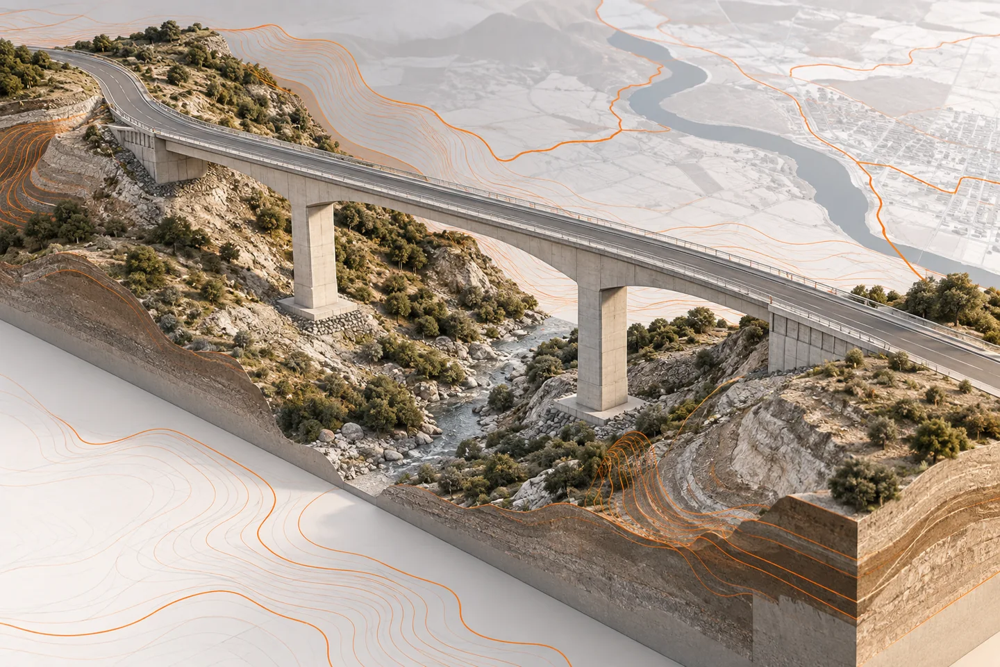
AEC Magazine’s digital-twin interview discusses connecting information from different sources and periods. For an infrastructure team, this becomes a practical question about location, asset identity and context. The hypothetical example here connects a viaduct model with a network asset register and geographic information. It is an original interface checklist, not a claim that any particular software automatically resolves the differences between those systems.
Document the spatial reference explicitly
Record the coordinate reference system, units, vertical reference and any project-specific transformation required by the workflow. Confirm the transformation with the responsible survey or geospatial specialist. A model that looks close on a map can still have a significant vertical or horizontal discrepancy. Use agreed control locations and record the comparison. Do not correct a mismatch by dragging the model until it appears aligned on screen.
Distinguish a network asset from a model object
A bridge or viaduct may be one asset in a network register but contain many spans, piers and components in BIM. Define that relationship explicitly. Keep a stable asset key and a documented hierarchy where required. Do not replace network asset identifiers with transient authoring identifiers. The interface should allow a user to move from the network asset to the relevant model components without assuming that one record always corresponds to one object.
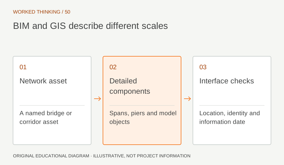
Read diagram notes
- Network asset
- A named bridge or corridor asset
- Detailed components
- Spans, piers and model objects
- Interface checks
- Location, identity and information date
Choose an appropriate level of detail
A network map may need a simplified footprint or centreline, while an engineering review needs detailed component geometry. Preserve the link between these representations and explain their intended use. Avoid publishing unnecessarily heavy geometry to a workflow that only needs location and a few attributes. Equally, do not treat a simplified map feature as a substitute for detailed engineering information when the decision depends on local dimensions or interfaces.
Record time as well as location
Identify the date and revision of each dataset. A geographic background, asset register and BIM model may describe different moments in the asset’s life. Make those differences visible when combining them. If a pier identifier changes after a reconstruction, keep the historical relationship instead of overwriting it without explanation. A composite view can look coherent while mixing information that was never valid at the same time.
Test a two-way question
Ask a reviewer to locate a named network asset and open the relevant model context. Then ask them to start from a model component and find its network record. Check identifiers, location and the information date in both directions. Include a missing or unmatched record in the test. A clear exception is better than a silent match based on a similar name. Assign ownership for resolving discrepancies between the systems.
Keep a compact interface specification
Document the fields, hierarchy, transformations, update triggers and exception handling needed for the connection. Retain a small accepted test dataset with the specification. Re-run the checks when either system changes its structure or reference information. Reliable BIM–GIS integration depends on well-defined relationships and disciplined updates, not simply placing a detailed model on a map.